 Catàleg local de Mallorca
Ajuntament de Calvià
Type of resources
Available actions
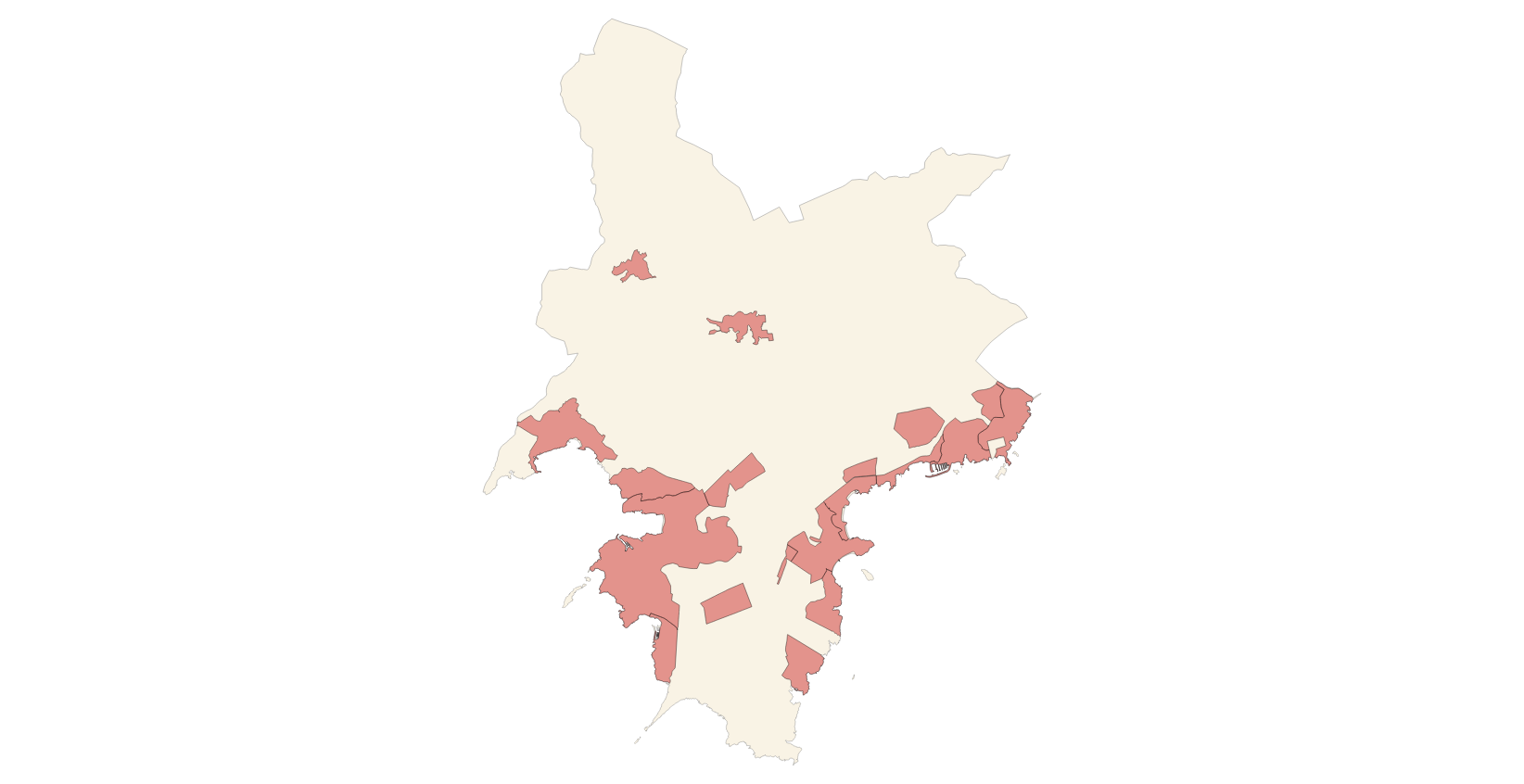
Municipios
INSPIRE themes
Keywords
Contact for the resource
Provided by
Years
Formats
Representation types
Service types
Scale
-
Data set containing the Calvià Adaptation Plan from 1976. Scale 1: 2,000 in urban. The reference system: ETRS89. Projection system: UTM spindle 31. Storage format: ECW.
-
Service of the theme Management area of Annex I of INSPIRE of the town of Calvià (view service, WMS)
Web Map Service that allows access to the cartography of the managed areas of the municipality of Calvià. Cartography extracted from the Initial Approval of the 2022 PGOU review. The service contains the general layer ForestAreaManagement contains the managed areas, with restrictions or some regulation, of Calvià. The symbology associated with the layers is defined by the INSPIRE specifications. Access to this service is free as long as the Calvià City Council appears as the owner of the data and the Consell de Mallorca as the owner of the service. Scale 1: 5,000.
-
Data set that contains the religious, civil and military buildings of the municipality of Calvià. The cartography was extracted from the 2009 Catalog of Heritage Assets. The Buildings layer is a polygon layer and contains the buildings on rural land that follow the INSPIRE data model. Scale 1: 5,000. The reference system: ETRS89. Projection system: UTM zone 31. Storage format: PostgreSQL.
-
Web Map Service that allows access to the cartography of the zoning plans of the Calvià Adaptation Plan of 1976. The service contains all the layers that make up the Plan: Cas Català-Illetes, Bendinat-Portals, Palmanova-Voramar-Son Caliu, Son Maties-Torrenova-Magaluf, Santa Ponça I, Santa Ponça II, Rotes Velles, Costa de la Calma- It is Catellot, Peguera, Portals Vells, Badia de Palma. Access to this service is free whenever the Town Hall of Calvià appears as owner of the data and Consell de Mallorca as the owner of the service.
-
Web Map Service that allows access to the cartography of the buildings of the municipality of Calvià. Cartography extracted from a self-made layer of the municipality of Calvià from the 2009 Catalog of Heritage Assets. The service contains the general layer BU.Buildings contains the buildings of Calvià. The symbology associated with the layers is defined by the INSPIRE specifications. Access to this service is free as long as the Calvià City Council appears as the owner of the data and the Consell de Mallorca as the owner of the service. Scale 1: 5,000.
-

Data set that contains the types of qualifications of the urban and rustic land of the town of Calvià. Scale 1: 1,000. The reference system: ETRS89. Projection system: UTM spindle 31. Storage format: SHP.
-
Cartography of the toponymy of the municipality of Calvià. The names refer to the topics of the INSPIRE Transport, Land Use and Protected Sites Directive in Annex I of the INSPIRE Directive and Land Uses in Annex III. Cartography generated in 2021. The sources are the Cartociudad project, version 2012, for the names of Transport, and the Urban Rules of 2002 and the Country Rules of 2003 for the names of Land Use and Protected Sites. The names of the urban elements are at scale 1: 2,000 and the names of the rustic elements, at a scale of 1: 5,000. Reference system: ETRS89. Projection system: UTM fus 31. Storage format: PostgreSQL.
-
Data set containing the management areas of the municipality of Calvià. The cartography is the final step of the Initial Approval of the Revision of the Calvià General Plan of 2022. The AM.ForestManagementArea layer is a polygon layer and contains managed, restricted, or regulated forest areas that follow the INSPIRE data model. Scale 1: 5,000. The reference system: ETRS89. Projection system: UTM zone 31. Storage format: PostgreSQL.
-
Data set containing the addresses of the urban center of Calvià and a few kilometers from the rustic area of the municipality. Cartography was extracted from the Cartociudad project of 2012, a state project that collects all spatial information related to directions and roads. The AD.Addresses layer is a layer of points and contains the addresses or portal numbers and various attributes that follow the Cartociudad data model and INSPIRE. Scale 1: 2,000. The reference system: ETRS89. Projection system: UTM fus 31. Storage format: PostgreSQL.
-
Data set containing elements and areas protected by municipal legislation. The protection is provided by the Catalog of Cultural Assets to be protected in Calvià 2009. The Protected layer. Sites recognize all protected elements (deposits, urban elements, rustic elements, natural areas, etc.). Urban elements are digitized at 1: 1,000 scale and rustic elements, at 1: 5,000 scale. The reference system: ETRS89. Projection system: UTM fus 31. Storage format: PostgreSQL.